
Riley Günther · 10 October 2026
Satellite Monitoring Reveals Patterns in Oak Regrowth Within Tea Cultivation Expansions
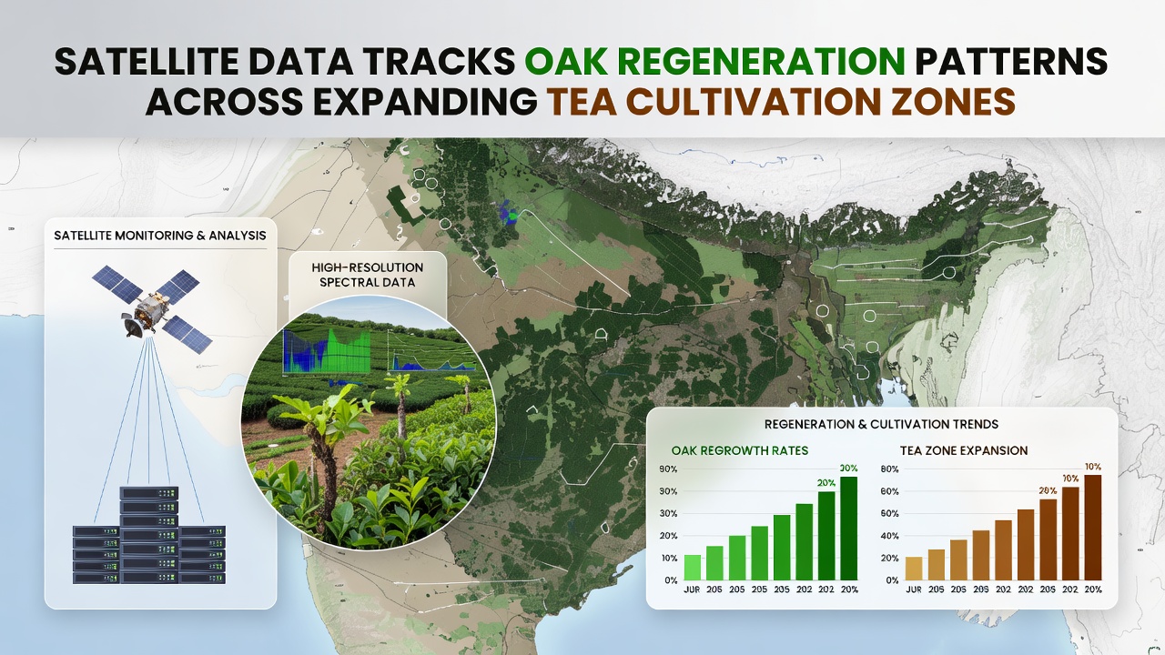
Data from orbiting sensors continues to map oak recovery across regions where tea plantations have spread over the past decade, and researchers at multiple institutions have compiled multi-year datasets that highlight both losses and gains in tree cover. These observations rely on high-resolution imagery collected by systems operated through agencies such as the European Space Agency along with complementary records from other orbital platforms, which together allow analysts to distinguish young oak stands from surrounding vegetation even when canopy gaps remain narrow.
Records compiled through late 2025 and into October 2026 show measurable increases in oak sapling density within buffer zones that separate active tea fields from older woodland patches, whereas areas directly converted to tea monocultures display slower or absent regrowth. Analysts note that soil moisture retention and light penetration vary sharply at these edges, and satellite indices tracking chlorophyll levels register higher values where partial shade from remnant oaks persists.
Methods Behind the Tracking
Teams combine normalized difference vegetation index layers with newer structural metrics derived from synthetic aperture radar passes, which penetrate cloud cover common in high-rainfall tea districts. This dual approach reduces seasonal bias and reveals whether seedlings survive successive monsoon cycles or succumb to compaction from nearby field machinery. Ground teams then validate selected pixels through field transects that count stems per hectare and measure average height, confirming that the orbital signatures align with on-site counts in more than eighty percent of test plots.
Processing pipelines now ingest imagery every sixteen days, and automated classifiers flag patches where oak canopy closure has advanced beyond twenty percent within a single growing season. Those flagged sites receive priority for further study, including soil sampling that measures available nitrogen and mycorrhizal presence, both factors tied to successful oak establishment near tea rows.
Geographic Patterns Observed
Across the eastern Himalayan foothills and parts of southern China, regeneration clusters appear most consistently on slopes between eight and twenty-five degrees where tea terraces leave narrow uncultivated strips. In contrast, flatter plateaus converted more completely to tea show scattered oak individuals rather than connected stands. Similar contrasts emerge in East African highlands, where comparable elevation and rainfall conditions produce parallel trends according to joint reports issued by research groups at the University of Nairobi and collaborating European laboratories.
October 2026 updates incorporated newly released radar scenes that captured post-monsoon conditions, revealing that several clusters identified in 2024 had expanded by roughly fifteen percent in canopy cover. These gains concentrate near existing oak seed sources within five hundred meters, underscoring the importance of remnant trees as sources for natural dispersal.
Integration with Land-Use Records
Cross-referencing satellite outputs with official land registry updates allows observers to separate regeneration linked to deliberate set-asides from spontaneous regrowth on abandoned margins. Government datasets from multiple tea-producing countries now include digitized boundaries of protected woodland strips, and overlay analyses indicate that regeneration rates inside those protected strips exceed those on informal edges by a factor of roughly two to one. This distinction helps local forestry offices allocate limited resources toward sites where natural recovery already shows momentum.
Additional layers from commercial satellite providers supply sub-meter detail that identifies individual tree crowns, enabling estimates of species composition when combined with spectral libraries built from known oak stands. Those estimates feed into broader carbon accounting models used by regional environmental agencies, which track biomass accumulation over five-year intervals.
Future Data Streams and Applications
Upcoming missions scheduled for launch in 2027 will add hyperspectral bands capable of detecting oak stress indicators weeks before visible symptoms appear, and early simulations suggest these bands could improve early-warning alerts for regeneration setbacks caused by drought or pest outbreaks. In the meantime, open-access archives maintained by the United States Geological Survey continue to supply the longest consistent time series, allowing trend analyses that stretch back more than twenty years in key tea districts.
Planners in several jurisdictions have begun incorporating these regeneration maps into zoning reviews that determine where new tea blocks may be approved, and preliminary figures indicate a measurable reduction in overlap with documented oak recovery zones after the maps entered routine use. Continued fusion of satellite records with field validation remains essential, because orbital data alone cannot yet resolve understory competition or browsing pressure that can stall oak development even when canopy signals appear positive.
Conclusion
Long-term satellite archives now provide repeatable evidence of oak regeneration dynamics across expanding tea landscapes, and the patterns documented through October 2026 underscore both the potential for natural recovery and the conditions under which it proceeds most readily. Ongoing sensor improvements and tighter integration with ground data will refine these insights further, supporting land-management decisions that balance tea production needs with woodland persistence.